Plugin for QGIS to set CRS of the Project to the UTM Zone corresponding to the center of the extent of the active layer.
QGIS Plugin Registry: ProjectUTM
Source code: Repository on Github
License: GPL v2
Use case
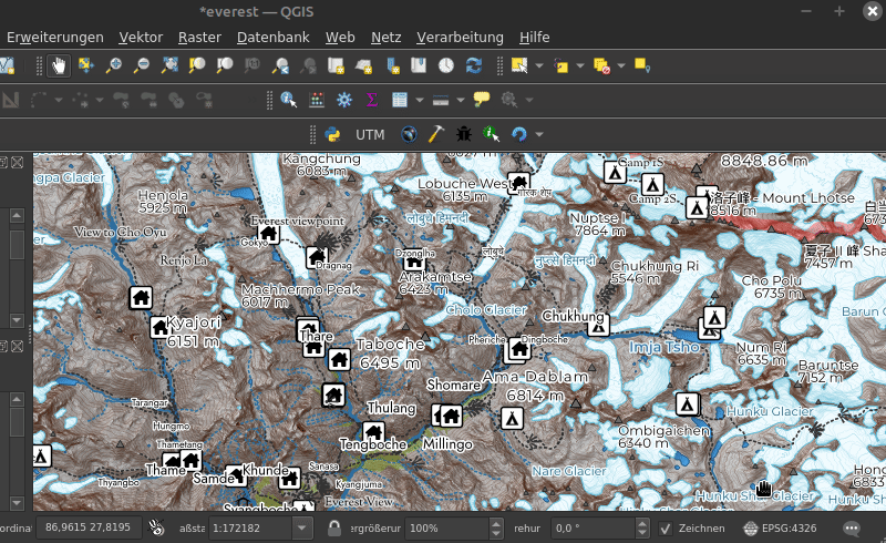
Open a shapefile or GPX track in QGIS and set the CRS project to the correct UTM zone with one click on the UTM Button in the Plugins Toolbar.
Install
Works with QGIS >= 3.18 (because it requires pyproj >= 3.0.0). You can install the plugin with the Plugin Manager in QGIS. Or clone / copy the source code into your QGIS plugin folder.
Changelog
1.1 (2023-1)
- Set required QGIS version to >= 3.18 (because it requires pyproj >= 3.0.0)
1.0 (2023-01)
- Warn if layer extent is not fully within UTM zone
0.2 (2022-09)
- Now it also works on layers that are not in WGS84 …
- Do not crash if pyproj did not return any CRS.
- Fix typo
0.1 (2022-09)
First Release