Puyehue is another volcano in the Lake District (cf. The Formation of Mountains). Because of the summit caldera, it is not a perfect cone like Osorno or Villarrica, and it is a bit lower. But it can be reached in a nice hike and there is more to discover in its neighbourhood …
The starting point, El Caulle, consists of only a few houses. To get there, I take a bus to Aguas Calientes and hitchhike the last part. First I have to pay an entrance fee in a restaurant and then I climb up through initially dense forest. At the forest limit there is a simple wooden hut, next to which I pitch my tent.
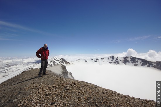
The next morning I leave my backpack 100 m higher up and climb over the still hard snow to the summit. Unfortunately, a cloud hangs there in the meantime, so I only have a few metres of visibility. After I have descended 500 m, the cloud is gone again. The decision is made quickly, of course I climb back up, I have no other choice! I don’t regret it, the view is really great.
Back at the backpack, I cross to the other side of the volcano, where I wanted to reach hot springs and a geothermal field. Most of the time I trudge through snow, which doesn’t exactly make it easy to find the way. Every now and then I discover a pole as a marker.
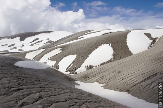
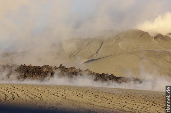
At some point the Cordon Caulle comes into view, the most active zone with tuff hills and fumaroles. I wonder about a lava flow in the plain where the hot springs were supposed to be, because it is not mentioned in the guidebook. I descend over undulating tuff hills with regularly incised erosion gullies and finally stand in front of the steep, perhaps 10 m high wall of the blocky lava flow. There is nothing to be seen of the river described in the book. After a bit of searching, I suspect that the lava flow might be younger than the description …
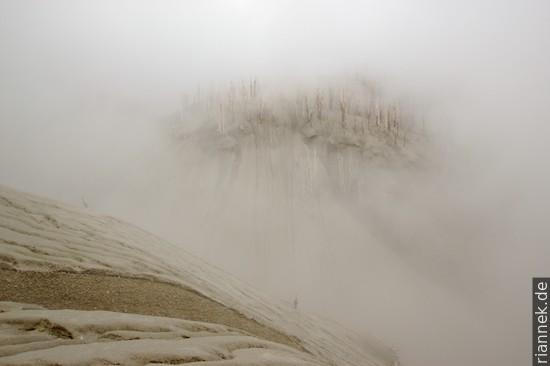
I walk laboriously up and down around the lava flow. It steams everywhere and for a short time I think that maybe one of the steaming spots could be the hot springs, which of course is not the case. At some point the sun has set, and I have neither a place to camp nor water to cook as the streams no longer exist, so I head for the neighbouring plateau with its remnants of snow. Then, at the front of the lava flow, I see a slight red glow between the blocks of the lava flow! Every now and then larger blocks rumble down. I didn’t expect the flow to be so young.
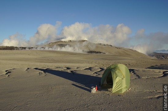
I now know that the violently steaming hill next to the lava flow is the centre of the June 2011 eruption, which saw violent ash eruptions, pyroclastic flows and finally a lava flow. The glowing part, however, seems to be a second even younger flow that has recently flowed alongside the other one.
At a respectful distance, I finally pitch my tent and fill the pot with snow. Back to El Caulle it is still half a day.
Read on
Patagonia
The Formation of Mountains
Puerto Varas in the Lake District of Chile
Villarrica and Huerquenes
Conguillio National Park and climbing Llaima
Bariloche